
Suggested trips | Navigation guide | Access points | River gauges | Additional resources
Google Earth file (.kml) | Condensed notes (.doc)
How to use this guide
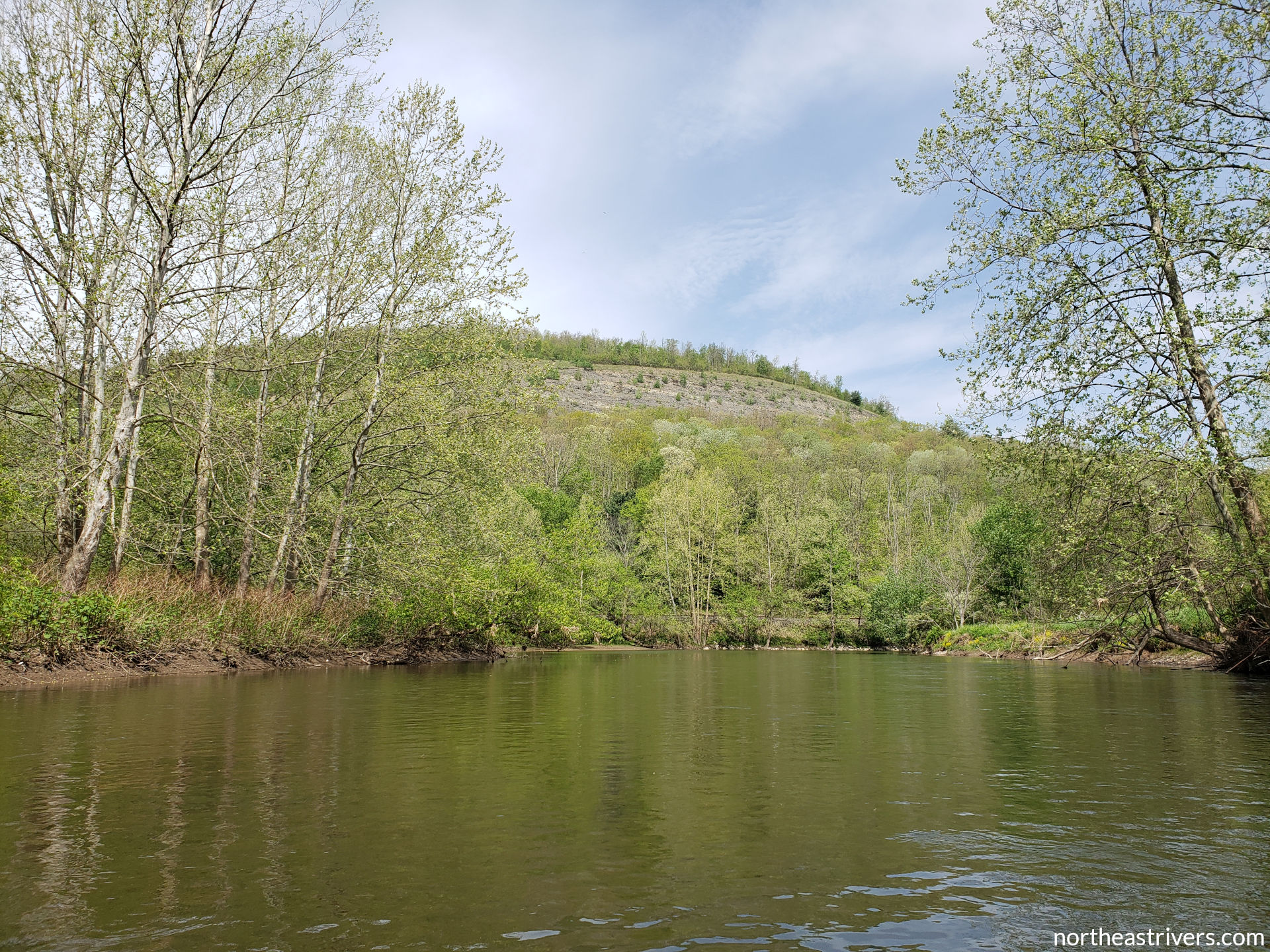


The Tioga River’s headwaters on the border of Tioga and Bradford Counties are wild and secluded. For its first few miles, the nascent river tumbles over class III whitewater in a narrow and heavily forested valley, before opening up into a broader and more gently sloping floodplain at Blossburg. The river here is marred by industrial runoff, which turns the water garish shades of orange and turquoise. A few miles below Mansfield, a set of dams impounds the Tioga River and its sister Crooked Creek into the Tioga-Hammond Lake system. BLAH, pleasant if not pristine, .
Source: headwaters above Blossburg, PA
Mouth: Chemung River at Painted Post, NY
Mapped length: 16.9 miles
Average gradient: BLAH ft/mile
Whitewater classification: class I-
Significant hazards: strainers in fast water; abrupt river level changes due to reservoir operations
Suggested trips
Short: Covered Bridge Park to Al’s Landing
Length: 6.9 miles
Significant hazards: very cold water in the first few miles; rapid at Corbett (28.9)
Short: Covered Bridge Park to Al’s Landing
Length: 6.9 miles
Significant hazards: very cold water in the first few miles; rapid at Corbett (28.9)
Short: Covered Bridge Park to Al’s Landing
Length: 6.9 miles
Significant hazards: very cold water in the first few miles; rapid at Corbett (28.9)
Navigation guide
Access points
River gauges
| Station | River mile | Data and forecasts | Recommended level |
|---|---|---|---|
| Tioga River at Tioga * ~ | 21.8 | USGS | NWS | |
| Tioga River at Tioga Junction ^ | 17.3 | USGS | NWS | at least 8.1 ft |
| Tioga River at Lindley | 10.9 | USGS | NWS | at least 4 ft |
| Tioga River near Erwins * | 3.0 | USGS | NWS |
~ directly affected by reservoir operations
^ water temperature data available
Additional resources
See also: Chemung River watershed, Chemung River, Canisteo River, Cohocton River