
Google Earth | Basic terms | Whitewater classification | Suggested trips | Navigation guide | Access points | River gauges | Additional resources | Condensed notes


This page delves into each section of the river guides found on this website. For a more general overview of what the website has to offer, see About.
Google Earth
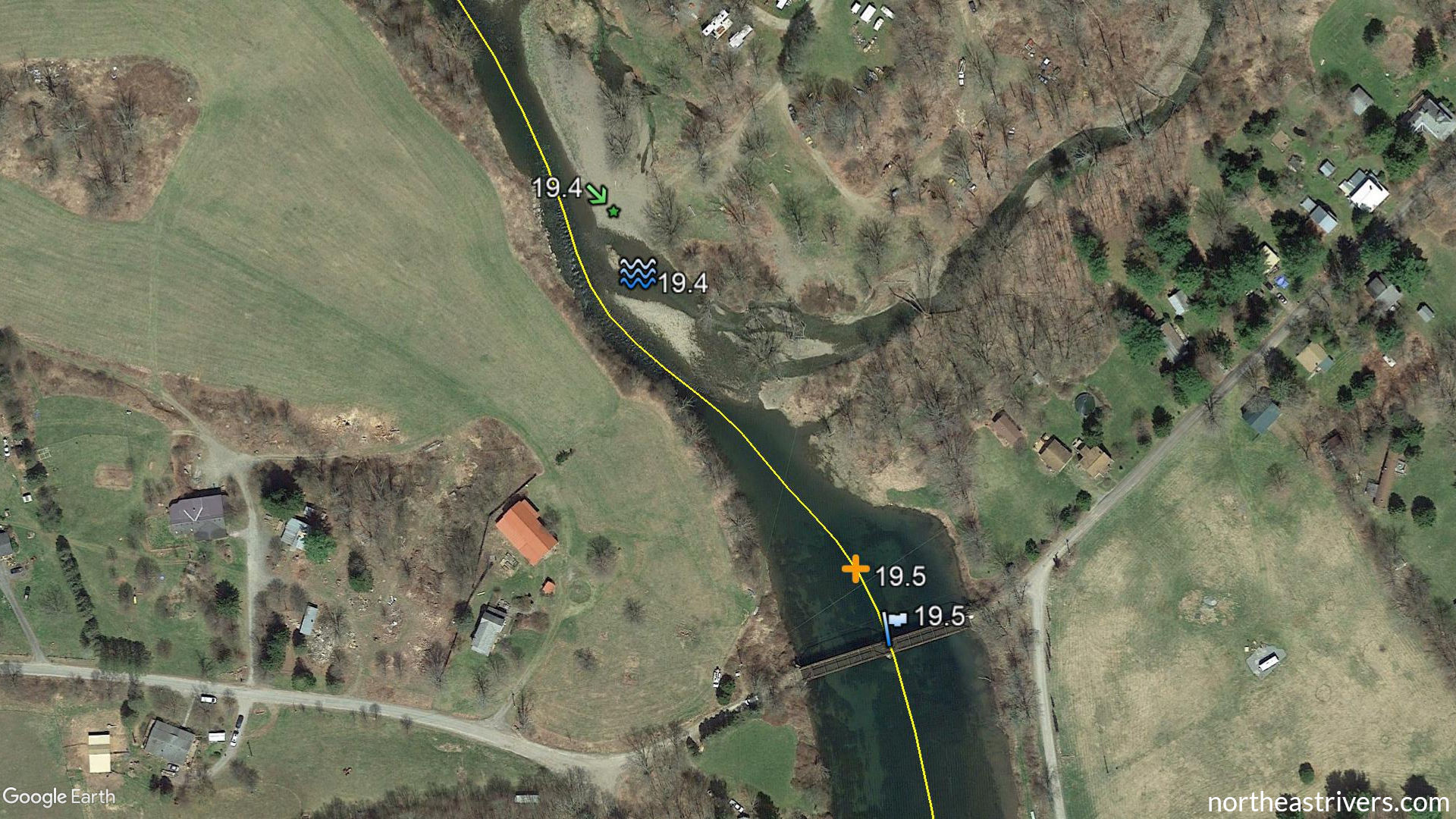
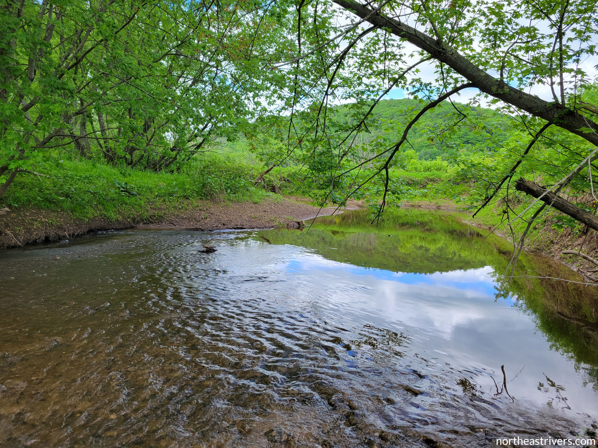
Google Earth is a powerful tool for mapping and viewing waterways, and it is the interactive visual companion to the text guides on this website. While screencaps of critical features (e.g. complex island clusters, tricky rapids, major obstructions, all access points) are provided in the “Navigation guide” section for ease of reference on mobile platforms, to take full advantage of Northeast Rivers guides, please download Google Earth Pro for desktop (free for Windows, Mac, and Linux).
Once you have installed Google Earth, click on the “Google Earth file (.kmz)” link at the top of a river guide page to download the file with the mapping data for that river. Open the file in Google Earth to view all features in the navigation guide labelled on a high-resolution satellite map.
Basic terms
Distance measurement standard — river miles are measured along the centre of the main channel and are numbered starting from 0 at the mouth and increasing going upstream.
Left and right — short for river-left and river-right, which are determined from the perspective of a viewer facing downstream.
Above and below — synonymous with upstream of and downstream of, respectively.
Gradient — feet of elevation drop of the riverbed per mile of river length. A gradient of less than 5 ft/mile indicates a largely flatwater river, while a gradient of 15-25 ft/mile usually spawns class II-III rapids.

River level or stage — the height of the water surface in a river above an arbitrary zero point. Because the zero height does not correspond to the riverbed, river levels should not be confused with river depth and should only be compared with levels at the same station. For example, a stage of 16 ft on the Chemung River at Corning means the water is one foot higher than if the stage at Corning were 15 ft, but it does not mean the river is 16 ft deep there. It also does not mean that the depth or conditions are comparable to a stage of 16 ft on the Chemung River at Elmira.
Flow or discharge — the volume of water moving past a certain location in a period of time, usually measured in cubic feet per second (cfs). The discharge of a small river at the lower end of runnable may be only a couple hundred cfs, while that of a large river at flood stage might be several hundred thousand cfs.
Whitewater classification
Rapids are classified on a scale of I-VI using the International Scale of River Difficulty (ISRD). The table below contains the official ISRD descriptions of each class and descriptions of class subdivisions used on this website. Note that rapid difficulty changes with water level; a straightforward class I+ rapid at low water could become a class III rapid with big holes and large waves at high flows.
| Classification | ISRD description | Northeast Rivers modifications |
|---|---|---|
| class A | Slow-moving water with no appreciable riffles. | |
| class I- | Fast-moving water at constrictions or shallows with small uniform waves and no obstructions. | |
| class I | Fast-moving water with riffles and small waves. Few obstructions, all obvious and easily missed with little training. | Fast-moving water with a few obstructions or small ledges; waves up to 2 ft. Rapids on the upper end of class I are denoted “class I+”. |
| class II | Straightforward rapids with wide, clear channels which are evident without scouting. Occasional manoeuvring may be required, but rocks and medium-sized waves are easily missed by trained paddlers. | Rapids on the lower and upper ends of class II are denoted “class II-” and “class II+”, respectively. |
| class III | Rapids with moderate, irregular waves which may be difficult to avoid and which can swamp an open canoe. Complex manoeuvres in fast current and good boat control in tight passages or around ledges are often required; large waves or strainers may be present but are easily avoided. Strong eddies and powerful current effects can be found, particularly on large-volume rivers. | Rapids on the lower and upper ends of class III are denoted “class III-” and “class III+”, respectively. |
The mapped sections of rivers on this website do not contain any Class IV-VI rapids at normal water levels.
The overall difficulty given for a river (or river section) is the whitewater classification of the most difficult main channel rapid on the river (or section). For example, the lower Delaware River is listed as class II+ owing to the Lambertville Wing Dam, though the majority of that section is class I-.
Suggested trips
One each of short (<7 miles), medium (7-13 miles), and long (13-20 miles) trips are recommended. An overnight trip (>20 miles) is also listed on rivers where such is feasible. The selected trips highlight the best stretches of the river in the author’s opinion, but also cover a diversity of settings when possible. They begin and end at decent-quality public access points or friendly private access points that the author has had personal experience using (always obtain permission from the owner!).
The “significant hazards” lists in this section (as well as in the river overview) underscore the most common and/or severe hazards on a given segment, but are not an exhaustive catalogue of difficulties the paddler could encounter. See the River safety page for more information about river hazards.
Navigation guide
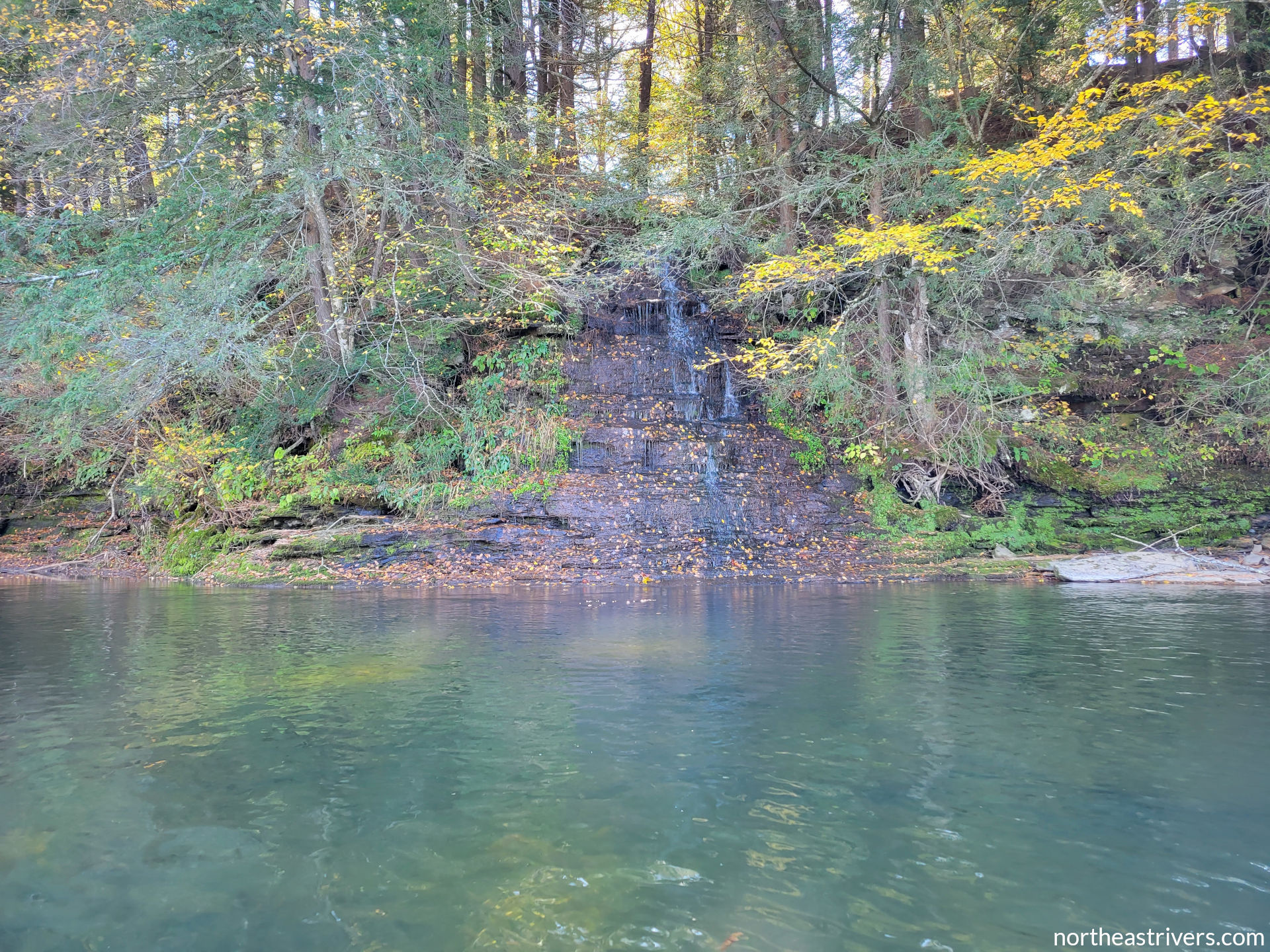
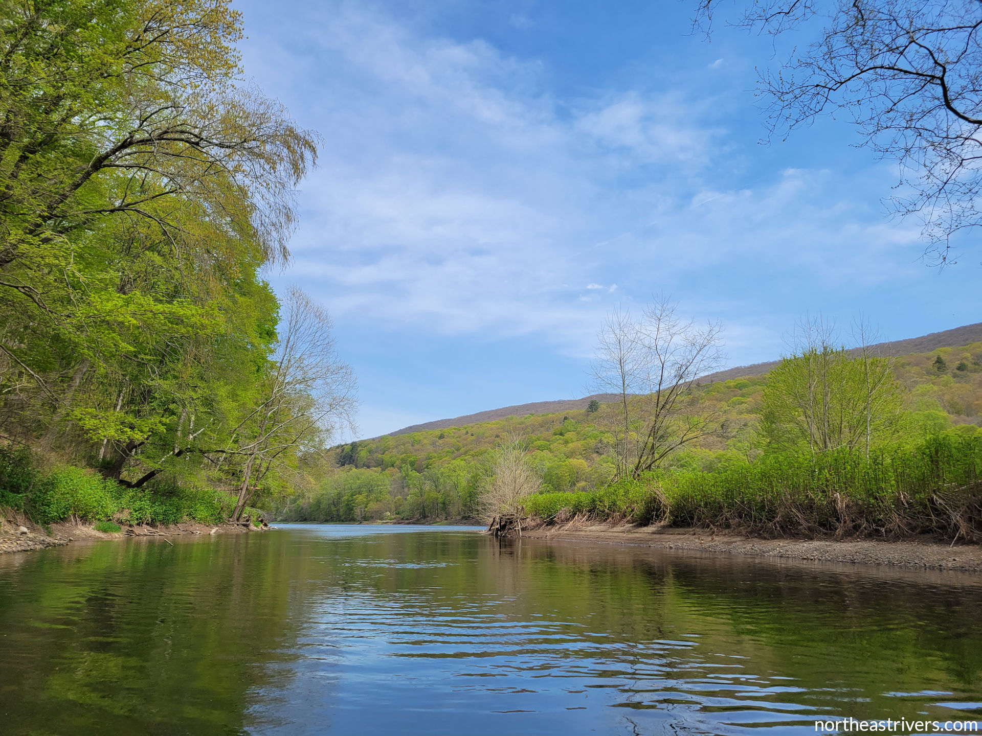
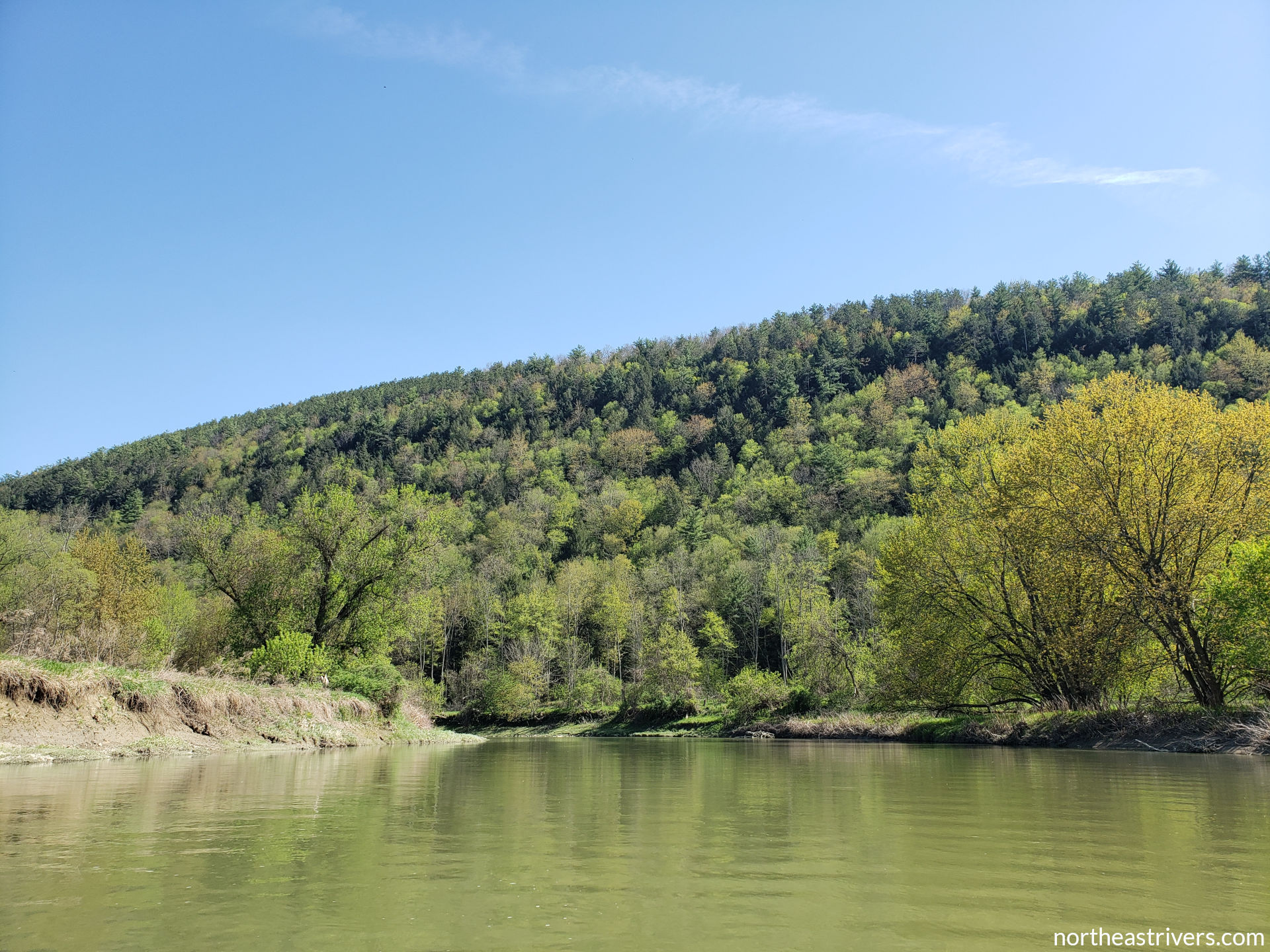
This is the meat of the guide, a comprehensive listing of islands, bridges, access points, rapids, obstructions, and other physical river features. Each type of feature has a corresponding icon with which it is labelled in Google Earth. Photos taken by the author and Google Earth screencap maps of critical features are included.
| Symbol | Type of feature |
|---|---|
 |
island (relatively permanent and generally wooded landmass) |
 |
bar (low-lying and generally gravelly, grassy, or brushy landmass) |
 |
tributary or artificial outlet |
 |
bridge |
 |
river access or portage point |
 |
rapid |
 |
dam or dam-related feature |
 |
other obstruction (former bridge pier, wing dam/jetty, eel weir, boulder field, etc.) |
 |
sharp or hairpin bend |
 |
cove |
 |
lake-, reservoir-, or canal-related feature |
 |
river gauging station |
Note that features are selected partially based on their significance on the river in question. For example, a boulder field on the Chenango River may be noted because it is uncommon, while the same boulder field on the rock-strewn upper Clarion would not be noted. Similarly, since the Beaver Kill is almost continuous whitewater, many class I rapids have been excluded from the navigation guide.
Access points
For ease of reference, all access points detailed in the navigation guide are listed together in this section. “L” or “R” describes the access’s location as river-left or river-right, while “U”, “D”, or “M” describes the access’s location as upstream of, downstream of, or directly under an associated bridge (since many accesses tend to be near bridges). The icon indicates a full-service restroom, while
 indicates a portable restroom.
All access type/condition information is gathered from personal observations. Restroom facility information is derived from both personal observations and external sources, and as such may be unverified.
River gauges
River gauging stations are an invaluable resource that allows paddlers to get an idea of river conditions without needing to visit and observe the river itself. Non-tidal river gauges are operated by the U.S. Geological Survey (USGS), while river level forecasts are issued by the National Weather Service (NWS). The USGS website (example: Delaware River at Montague) provides current and historical data on river stage and discharge; some stations also have water temperature and water quality measurements. NWS forecasts (example: Delaware River at Montague) are routinely updated daily around 10:00 Eastern Time; however, during major precipitation events, forecasts may be revised every few hours as needed.
Note that while all NWS forecasts take into account recent and predicted precipitation, snowmelt, and ground saturation, most do not factor in expected changes in dam releases. These changes, as well as variances in precipitation and certain quirks and biases of forecast models, can cause the actual rise and fall of river levels to be drastically different from predictions. Therefore, it takes some familiarity with the behaviour of each river to be able to interpret its forecasts properly. If you are planning a trip and have questions about the interpretation and reliability of a particular forecast, please contact the author.
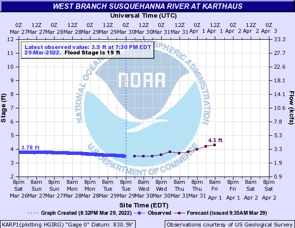
Minimum recommended water levels for paddling are drawn from the author’s experience and represent the level at which a kayak may occasionally scrape river bottom, but no dragging or portaging over shallow areas is necessary with a good read. This level varies a bit depending on the paddlecraft; a heavily loaded canoe or large river raft will require a couple inches more water than a kayak or packraft. Where the author’s experience is insufficient, minimums from external sources are noted as such. Use the gauge(s) closest to the section of river you are paddling. The maximum level at which a river is safe to run is not given, as it is greatly dependent on the paddler’s skill. When in doubt, scout the river if the water is high.
Most tidal river gauges (example: Tidal Delaware River at Philadelphia) are operated by the National Oceanic and Atmospheric Administration (NOAA), which also issues tide forecasts. NOAA tidal river forecasts are mathematical calculations based on astronomy and local geography and do not take into account freshwater flow and storm surge.
Additional resources
Paddling outfitters listed are establishments that provide kayak/canoe/raft/paddleboard rental and/or shuttle service for paddlers. The author does not have personal experience with most of these outfitters and does not offer an endorsement of their services.
Guidebooks listed are either books the author owns or books with large sections available online via Google Books. There is a wide range of quality in published river guides, but the author especially recommends Keystone Canoeing and Garden State Canoeing by Ed Gertler and A Paddler’s Guide to the Delaware River (website) by Gary Letcher.
Water trails (example: Middle Clarion River Water Trail) are designated recreational waterways established by outdoor organisations in cooperation with state or local governments. They contain maps and descriptions of river access points, caution areas, cultural and historical landmarks, adjacent trails and campgrounds, and services for paddlers, though the exact content and depth of information varies from trail to trail.
Condensed notes
The “Condensed notes (.docx)” are what the author prints out and takes along for quick navigational reference on the river. They are essentially an abbreviated version of the “Navigation guide” and “Access points” sections, with additional information on observed temporary conditions, verified side channel passability, Google Earth satellite imagery sets, and reference data. These documents are available to download, but they contain quite a bit of shorthand that is not always self-explanatory. If you are interested in using these notes for your own river-tripping purposes and have a question about what something means, please contact the author.
See also: About | River safety | Resources