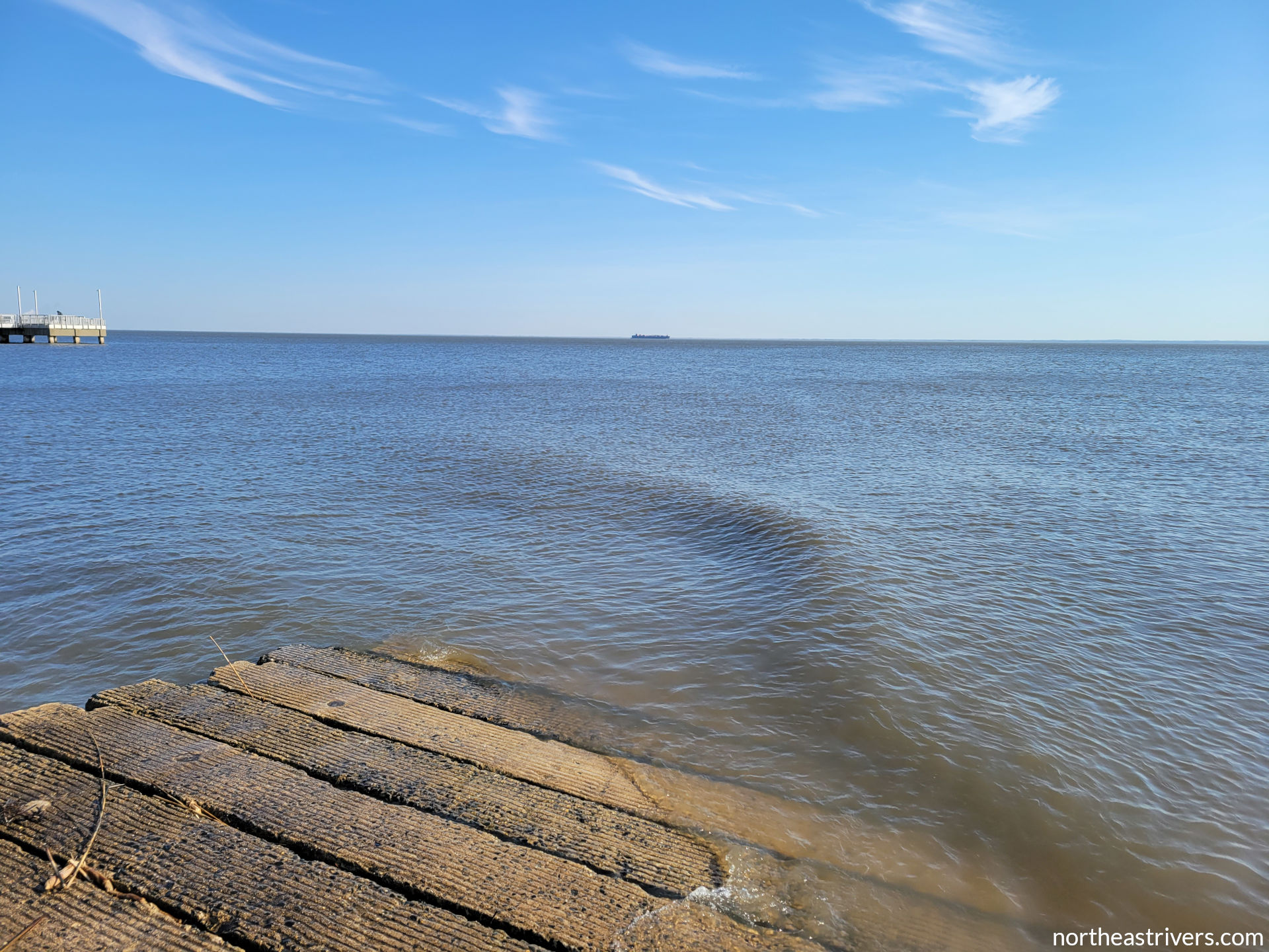
I’ve just returned from three days on the tidal Delaware, a passage from Delaware City to Woodland Beach (well… sort of, as we will see) staged at Wilmington. I had been planning a post about , using the third day as an example. It turned out to be a rather bad example, BLAH.
Check tide and current forecasts
BLAH
Theory, practise, and better theory
Armed with BLAH, I confidently set up the Lackawanna on the Woodland Beach ramp. On shore, the wind was already quite brisk, and I had to BLAH to prevent it from being carried away by a gust. BLAH. Somewhat more concerning was the wind direction: instead of the forecasted south-southwesterly winds early, it was west-southwesterly. That meant I would not have any tailwind component, and in fact, BLAH. This was far from ideal, but
That there is water overtopping the Downsville Dam spillway. If I’m reading it correctly, the reservoir has been periodically spilling for several days now, its height steady at capacity as spill balances inflow. Today’s heavy rainfall over the upper watershed has pushed Pepacton a foot above capacity, resulting in the observed increase in spill volume.
I haven’t paid enough attention to the reservoirs at high water to have a sense of whether the forecasts for Harvard and Hale Eddy factor in the projected spills (which in turn must factor in the projected inflows in order to be accurate). At first glance, the West Branch forecast seems a little suspect—Cannonsville Reservoir is supposed to crest 4 ft above capacity, yet the increased spill is only going to add another 5 000 cfs at Hale Eddy (this not even considering Oquaga Creek)? On the other hand, it’s hard to believe the models wouldn’t account for something that important when predicting water levels (and thus deciding when to issue flood advisories) for an entire 330-mile river. I guess I’ll find out tomorrow morning; in the meantime I should probably get some sleep.
08-Apr-2022 1230 update — The inflow to Cannonsville is beginning to level off, and it should translate to a spill just shy of 10 000 cfs. Tributaries of the lower West Branch are already receding; this will offset the increasing spill and the forecast for Hale Eddy will verify nicely. That’s what I get for doubting the National Weather Service, I suppose.
There was some significant flooding at Delhi on the upper West Branch, and the Delaware River at Tocks Island might crest above flood stage for the second time in six months. Also, all of NJ and a good chunk of eastern PA and southeastern NY have ceased to exist:
Please bear with me as I work to get this website up and running. Currently, the West Branch Delaware River and Chemung River guides are complete; the East Branch Delaware River and Tioughnioga River guides are in progress. Pine Creek and the lower Delaware River will be next. The About and Resources pages are also under construction; the How to use and awesome (if I do say so myself) River safety pages are complete. Thanks for your patience and happy paddling!
I awoke to bright sunshine and the Delaware Water Gap church bells striking six.
An hour and a half prior, I’d drifted into an uneasy nap with the numbers from the latest upper Delaware forecasts tumbling around in my head. They had been revised upward, and the middle Delaware forecasts had followed while I slept. The Tocks Island gauge was now expected to rise to 9 ft by 0200.
Baseline summer levels at Tocks Island are 5.5-6 ft, and with the previous prediction of 6.5 ft at 0200, I would not have hesitated to paddle from Poxono to Kittatinny Point even in poor night visibility. The only challenging part of that stretch, if one could call it challenging, is a mile of fast water between the lonely piers of a former railroad trestle and the I-80 bridge. At normal summer flows, the class I rapid of Smithfield Rift that runs down the left side is barely a riffle, and the shallows at the mouth of Brodhead Creek on the right are easily avoided by keeping left. Approaching 8 ft at Tocks Island, the waves of Smithfield Rift become quite a bit choppier and competing currents spawn a variety of unstable surface features past the bridge piers and near the confluence of the Brodhead, but it is still an easy run when the features can be plainly seen. The hourly forecast promised clear skies and a brightly moonlit valley by midnight, yet the fact remained that 9 ft would be higher than I’d ever paddled the section; besides, I knew the gauge could not tell the full story of the river’s hazards. Having spent the better part of an hour making faces at HEFS charts and radar-estimated precipitation maps, I finally crawled out of bed, resolving to see for myself how the Delaware looked from Worthington State Forest a mile below the Tocks Island station and two miles above the mouth of Brodhead Creek.
Across the state line, I stepped out of my car to the mellow notes of “When Johnny Comes Marching Home” wafting across the river from an outdoor performance at the Shawnee Inn. The Delaware, too, was yet mellow here: its water moved with a steady and perfectly smooth current, as limpid as it was placid. Floating mats of uprooted grasses were the only evidence of recent heavy rainfall. No boils, no whirlpools, no chop; but more importantly, no deadfall or other large debris. I stood around for a while as if waiting for the secondary crest to arrive, though I knew the river would not look significantly different by twilight. Perhaps I should have given more thought as to why the river—in particular the right side of the river—at the I-80 bridge had looked so different, significantly swifter and murkier, but I’d (rather nonsensically) dismissed that observation as the immediate tail of Cherry Creek. Things pointed toward a go—a less-than-ideal go, but a go nonetheless.
Yet as I drove back toward Delaware Water Gap and passed the Fairview hiking area abeam and far above the mouth of the Brodhead, I wondered if it would be wise to go ahead with a high water night paddle without knowing the conditions at river mile 213. There was not enough daylight left to follow the questionable trail that led out onto the prime vantage point of the destroyed rail trestle’s left shore abutment. But I could at least stop by Minisink Park and evaluate Brodhead Creek from the River Rd bridge, whence I had scoped out an illegal launch spot on Day A2 of my split Delaware River passage.
The sound of a large tree limb splintering into the water was the first thing to give me pause.
As I walked out onto the bridge, I instantly understood why, of the 100 lives lost to flooding in the Delaware valley from Hurricane Diane in 1955, 75 of them were claimed by Brodhead Creek. Even at 17 ft below its flood of record, the Brodhead frothed violently at the bridge piers, uncomfortably close to the bottom of the deck, backfilling the eddies on the downstream side with chaotic currents. Tangled boughs and large sections of tree trunk swept by, bobbing menacingly with the irregular waves. Not only was my forbidden shore completely inundated, but the trails leading to it had become torrents. I thought back to earlier in the day, to the scene I’d witnessed in East Stroudsburg, a panoply of fire vehicles on the closed 7th St bridge over McMichael Creek and the banks below apparently conducting some rescue operation (1). Clearly, paddling the creek would have been a treacherous proposition so soon after the storm’s passing. But that was just a tributary of the Brodhead. And the Brodhead was just a tributary of… oh, right.
2 000 ft below the bridge upon which I stood, the Brodhead drains into the Delaware River. But that evening, the Brodhead was the Delaware River. While the creek was cresting at a flow of 15 000 cfs, the river at Tocks Island not far upstream was only creeping past 6 000 cfs. At that moment, there were 2.5 Delaware Rivers flowing within and overflowing the banks of Brodhead Creek, and at its mouth, it contributed 70% of the Delaware’s discharge. I’m not entirely certain what happens when a larger flow compressed into a tiny cross-sectional area hits a smaller flow with a large cross-sectional area at a right angle at high speed, but I don’t imagine it’s good.
I drove away from Brodhead Creek, and I walked away from the Delaware River and my plans to paddle it that night.
Back at the Deer Head Inn, as I listened to the soft pattering of a stray shower against the dormers, I checked the updated forecasts for the middle Delaware. Montague was due to crest at 14 ft the next morning, one foot below the level at which the NPS closes down all access to the river. Easton had already risen nearly 14 ft above normal summer levels. There would be no question of running Foul Rift on Wednesday, nor likely on Thursday, even in daylight (2).
It was disappointing to have travelled to Delaware Water Gap in the midst of a tropical storm only for both my night paddle and high water marathon plans to be foiled by the river, but it was an experience I needed to have. It was a periodically necessary reminder that the river is supreme, that the river does not negotiate, and that in the contest between woman and river, river always wins. It was a reminder that I am merely a passenger on these waters, able to control my craft and exploit the river’s dynamics but ultimately carried by its current and at the mercy of its power.
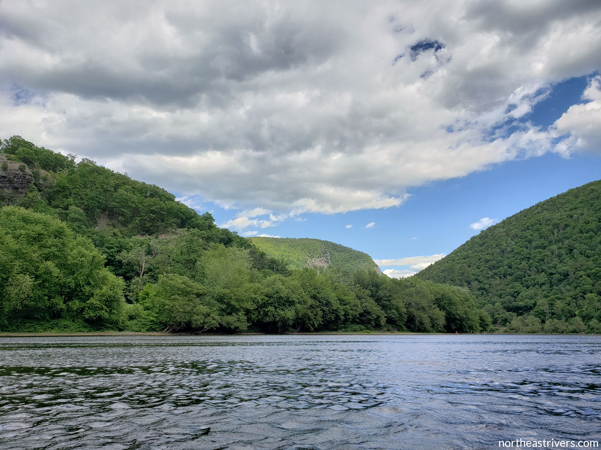
This would not be the first time I’ve been humbled by the Delaware. When I began to consider seriously my aspiration of paddling the entire river from the limits of navigability on its branches to the Atlantic, I realised it would involve everything from near-freezing water below the reservoirs, to the class III- Lambertville wing dam, to a bay as wide as the Chesapeake. I was far outmatched and in need of a reality check. It was in the stepping-stone of preparing for a passage from Hancock to Trenton that I started running class II, and there was no local class II playground more accessible or more dependable than the upper Delaware itself. That I sought to attempt instead of avoid Westcolang Rift was a testament to how far I’d come since the previous year, but my blundering lines through it reminded me of how far I had to go to become a competent whitewater paddler. And of course, before I’d ever dreamt of a grand Halcottsville-to-Cape May voyage, I’d beheld the Delaware Water Gap from water level, the sense of ultimate insignificance beside the forces that shaped and continue to deepen the cleft between Mounts Minsi and Tammany sealing my love for a river I had relegated to a pleasant footnote.
When I meditate, I ask for strength from the river, and on that evening the river answered. When I had been close to deciding to attempt the night run, the Delaware gave me the presence of mind to go to Minisink Park and look upon Brodhead Creek. And for that I am glad.
* * * * * * *
(1) Three men trapped on an island in McMichael Creek were successfully rescued by the Stroudsburg Fire Department.
(2) Montague crested at 13.1 ft on Wednesday morning. The entire mainstem was too high to run on Wednesday, but the river receded quickly, leaving ideal water levels for an upper Delaware marathon that I heartily took advantage of on Thursday. The middle Delaware probably would also have been a good run on Thursday, though Foul Rift would have pushed my limits. As for my nixed night paddle, the secondary crest arrived at Tocks Island later than forecast; the gauge levelled off at 7.4 ft for several hours and did not rise above 8 ft until 0245. By 0100, the estimated time at which I would have passed river mile 213, Brodhead Creek had fallen to 8 500 cfs and had become the minor contributor at its confluence with the Delaware, though only just. It would still have been an unsafe situation at night. I stand by my decision, and I hope that had I known all this additional information, I would have made the same decision.