That there is water overtopping the Downsville Dam spillway. If I’m reading it correctly, the reservoir has been periodically spilling for several days now, its height steady at capacity as spill balances inflow. Today’s heavy rainfall over the upper watershed has pushed Pepacton a foot above capacity, resulting in the observed increase in spill volume.


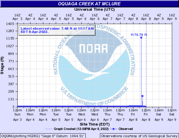
I haven’t paid enough attention to the reservoirs at high water to have a sense of whether the forecasts for Harvard and Hale Eddy factor in the projected spills (which in turn must factor in the projected inflows in order to be accurate). At first glance, the West Branch forecast seems a little suspect—Cannonsville Reservoir is supposed to crest 4 ft above capacity, yet the increased spill is only going to add another 5 000 cfs at Hale Eddy (this not even considering Oquaga Creek)? On the other hand, it’s hard to believe the models wouldn’t account for something that important when predicting water levels (and thus deciding when to issue flood advisories) for an entire 330-mile river. I guess I’ll find out tomorrow morning; in the meantime I should probably get some sleep.


08-Apr-2022 1230 update — The inflow to Cannonsville is beginning to level off, and it should translate to a spill just shy of 10 000 cfs. Tributaries of the lower West Branch are already receding; this will offset the increasing spill and the forecast for Hale Eddy will verify nicely. That’s what I get for doubting the National Weather Service, I suppose.
There was some significant flooding at Delhi on the upper West Branch, and the Delaware River at Tocks Island might crest above flood stage for the second time in six months. Also, all of NJ and a good chunk of eastern PA and southeastern NY have ceased to exist:

